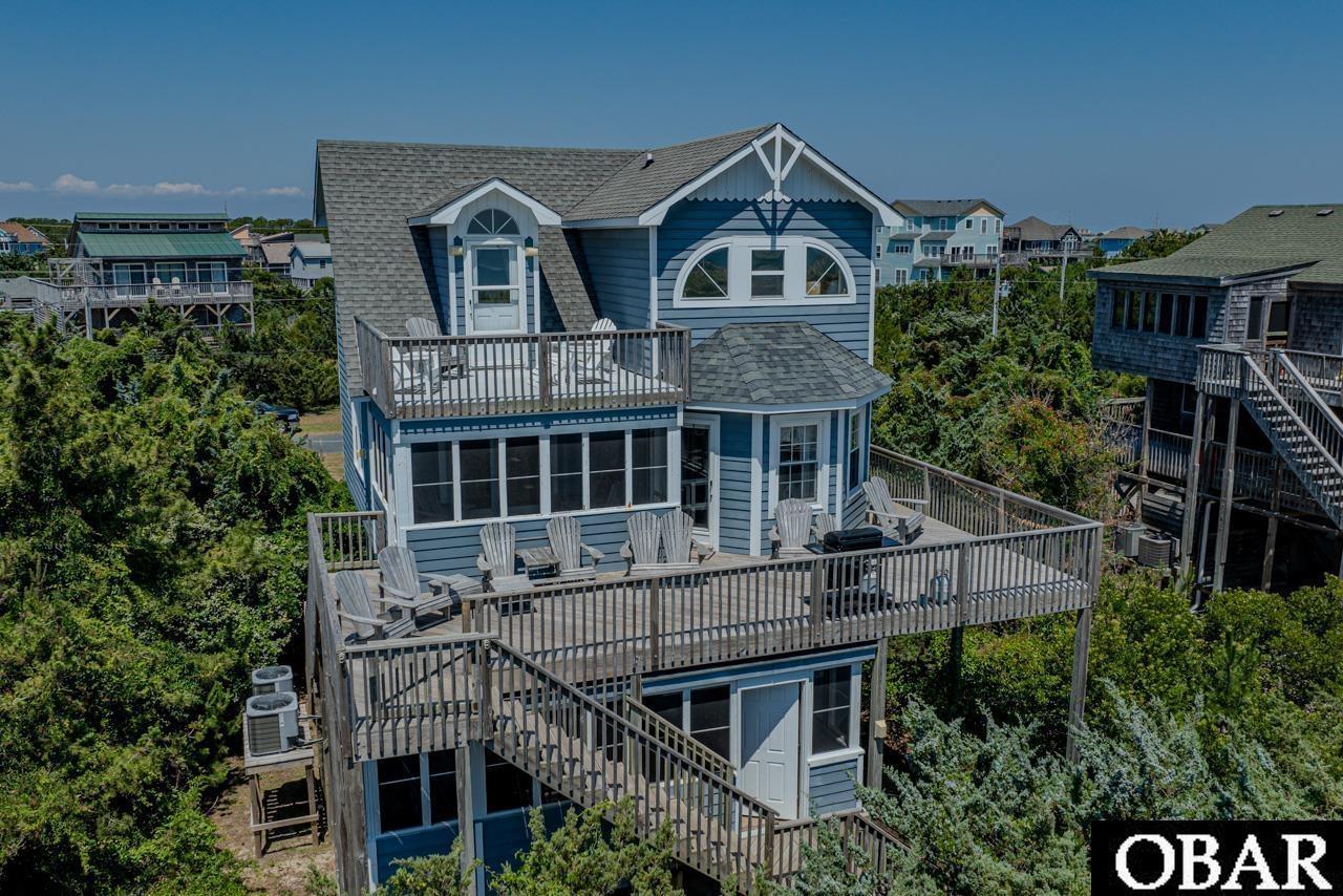
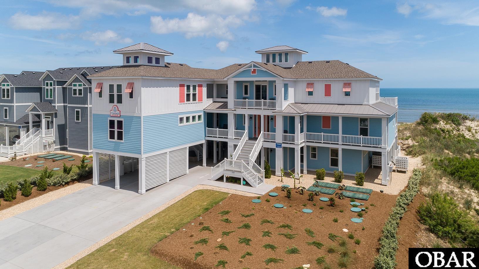
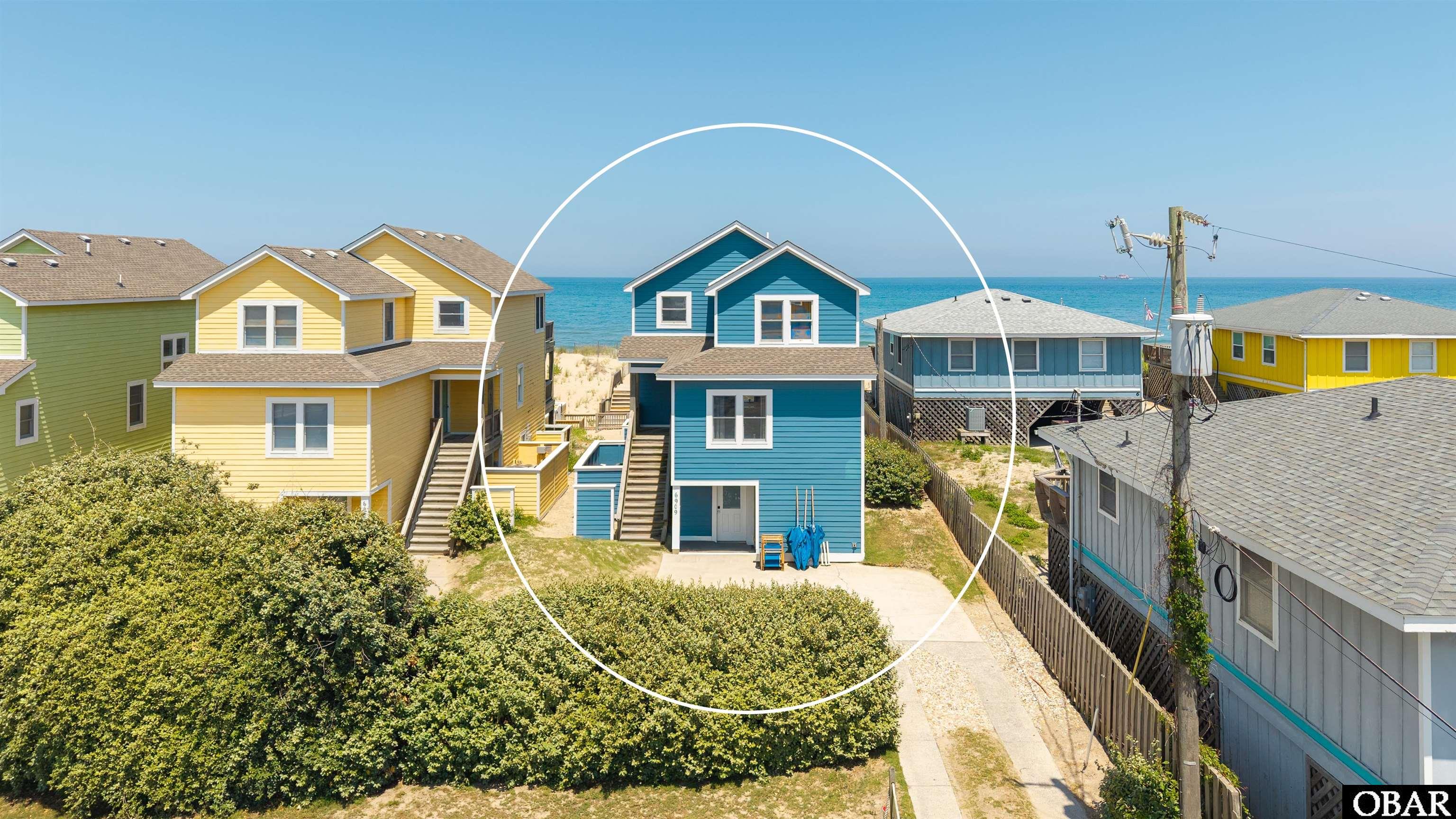
Experience resort-style oceanfront living in this exceptional 5-bedroom, 6 full and 3 half bath retreat in the heart of Salvo. Although permitted for five bedrooms, this home sleeps like a six-bedroom home with an additional bunk room served by a nearby full bath. Designed for unforgettable vacations and strong rental appeal, this beautifully appointed home offers sweeping ocean views, elevator access to every level, and one of the most impressive outdoor entertainment spaces on Hatteras Island.
Situated on an oversized oceanfront homesite in Hatteras Colony, the outdoor living is truly the star of the show. The fully fenced backyard has been transformed into a private resort featuring a heated saltwater pool with a tanning ledge and kiddie pool, elevated spa, expansive sun deck, covered gazebo, grilling pavilion, basketball goal, horseshoe pit, fire pit, and plenty of room to relax after a day at the beach. A private sandy path leads directly over the dune, providing easy beach access just steps from your backyard.
One of the home's standout features is the fully screened poolside Tiki Bar and entertainment area with custom coastal murals, a serving counter with sink, television, music system, ping pong, comfortable lounge seating, and plenty of room for family and friends to gather. A convenient poolside half bath, outdoor shower, fish-cleaning station, and covered grilling area make outdoor entertaining effortless.
Inside, the floor plan comfortably accommodates large groups. The ground level features a spacious recreation room with an electric fireplace, pool table, surround sound home theater system, wet bar with a full-size refrigerator and microwave, plus an additional den that's perfect for movie nights or quiet relaxation. This level also includes the bunk room with a DuoBunk and Bunk Set, a full hall bath, and direct access to the outdoor amenities.
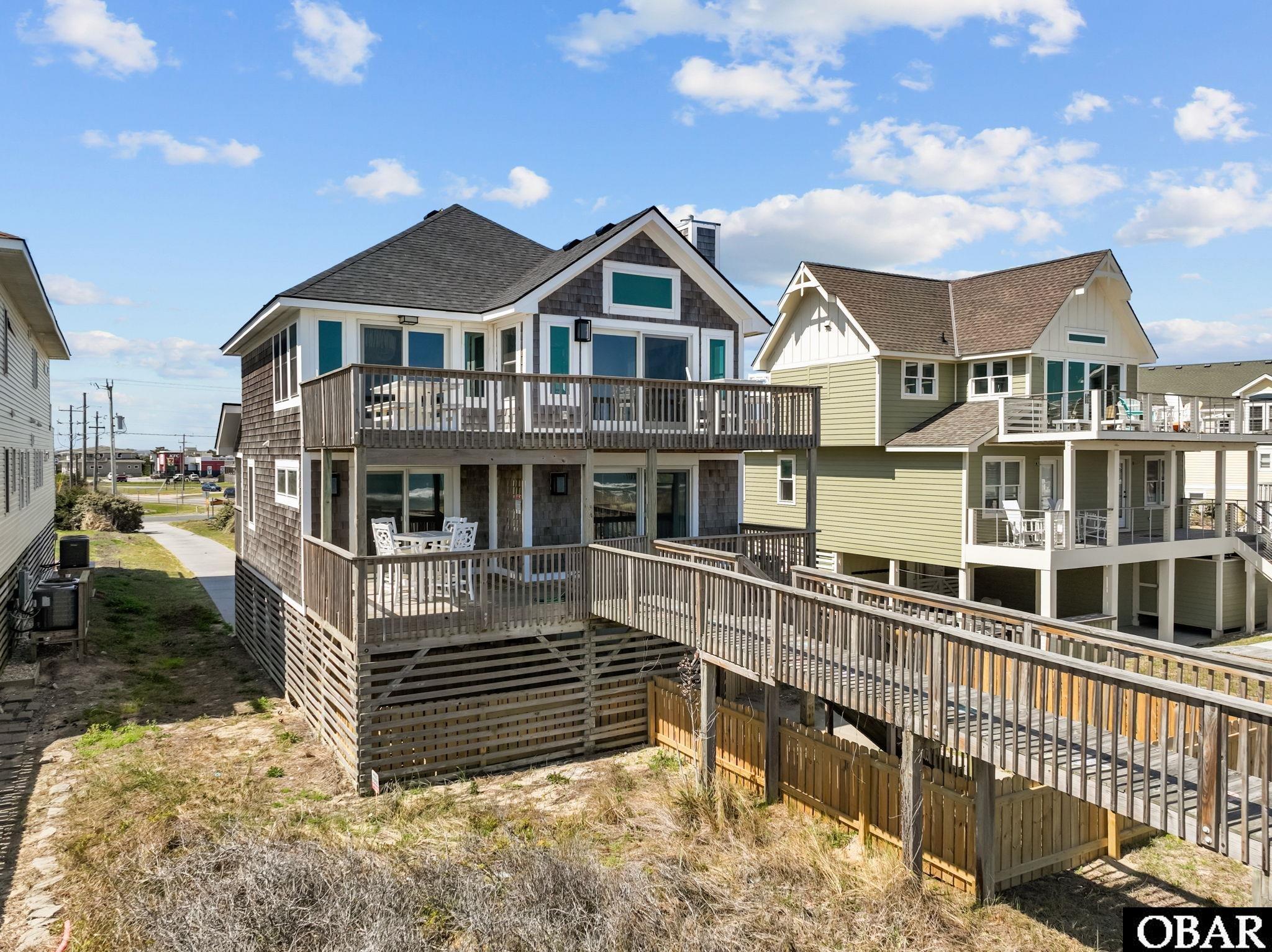
The home offers five spacious ensuite bedrooms, with four located on the mid-level, including two oceanfront king suites with spectacular views and direct deck access. Another king ensuite and an ensuite bedroom with two twin beds complete this level. A private king ensuite is located on the top floor, just off the main living area. One bathroom features a handicap-friendly roll-in shower, while granite countertops throughout the bathrooms add a touch of luxury. Covered decks on every level provide the perfect place to enjoy the ocean breeze and sweeping ocean views.
The top floor was designed for gathering. The open-concept great room captures breathtaking ocean views and features the home's second electric fireplace with easy access to expansive sun decks. The spacious kitchen is equipped to handle a crowd with two dishwashers, double ovens, abundant cabinetry, a breakfast bar, and an adjoining dining area, making it easy to entertain family and friends.
Located in the heart of Salvo, you'll enjoy everything that makes the Tri-Villages one of the Outer Banks' most desirable destinations. Deeded sound access directly across the street in Wind Over Waves makes kiteboarding, windsurfing, paddleboarding, kayaking, and other watersports incredibly convenient. The nearby Salvo Day Use Area offers shallow soundside beaches, picnic areas, a playground, and one of the best sunset spots on Hatteras Island. Rodanthe Pier is just minutes away for fishing and unforgettable sunrises, while Good Winds, Waterman's Grill, Real Watersports, and Kitty Hawk Kites are all nearby.
This exceptional Salvo home delivers everything today's buyers are looking for—sweeping ocean views, an oversized oceanfront homesite, resort-style amenities, spacious accommodations, outstanding indoor and outdoor entertaining spaces, direct beach access, and the laid-back Hatteras Island lifestyle.
MORE Call Agent 800-647-1868